1N1X1 · Operations
Geospatial Intelligence
Also known as: GEOINT
Last updated
At a glance
- Security clearance
- Top Secret
- Tech school
- Goodfellow AFB, Texas · 100 days
- Career field size
- 3,158 Airmen
- Civilian equivalent pay
- $46k–$107k
- U.S. citizenship required
Table of ContentsShow
What does the Geospatial Intelligence career field do?
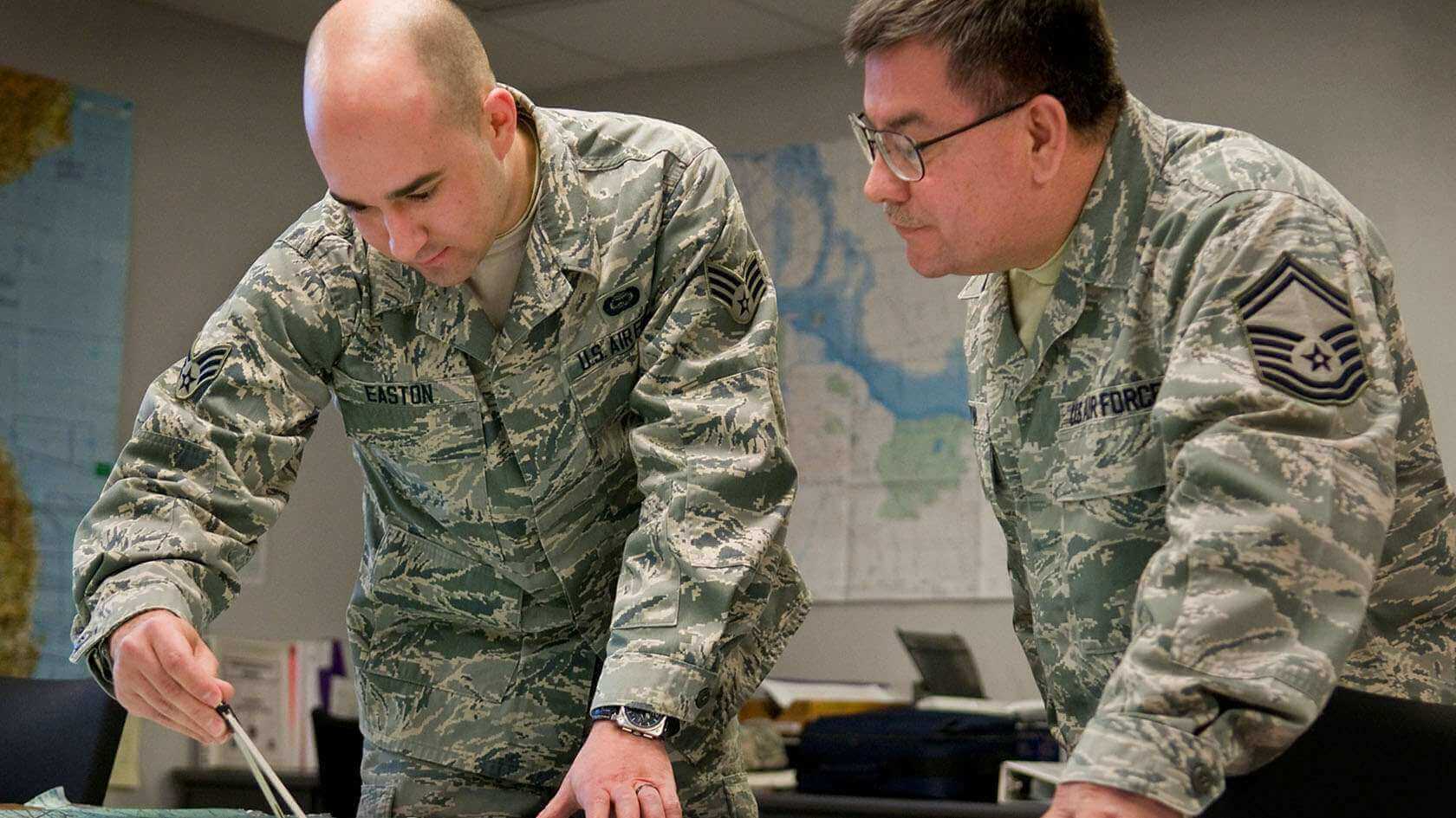
Manages, supervises, and performs intelligence activities and functions including analysis, integration, and fusion of multi-source geospatial data and intelligence to support warfighting operations and other intelligence activities that achieve the commander’s objectives. Emphasizes integration with other intelligence disciplines (e.g., HUMINT, SIGINT, OSINT) to provide comprehensive intelligence products, supporting strategic, operational, and tactical decision-making across the spectrum of conflict and peacetime operations. Related DoD Occupational Subgroup: 124200.
Duties and responsibilities
- Performs research and analysis on multi-sensor imagery, geospatial data, and products in conjunction with all-source intelligence information. Monitors military facilities and activities, industrial installations, and surface transportation networks, while assessing critical infrastructure, potential adversary capabilities, and areas of interest. Determines and reports type, function, and location of military equipment including ground, air, naval, missile, space, and electronic orders of battle. Uses multi-sensor imagery to conduct comparative analysis. Analyzes terrain to determine trafficability, potential landing zones and defensive fortifications. Analyzes structures of military and industrial installations to determine construction type and functionality. Prepares damage assessment reports detailing structural damage and weapons effects. Utilizes geospatial intelligence to analyze activity patterns, detect anomalies, and support threat assessments, through the use of a variety of sensors, in direct support of Major Conflict Operations (MCO), Humanitarian and Disaster Relief (HA/DR), and other special operations. Develops proactive geospatial intelligence collection strategies and requirements to address intelligence gaps and anticipate future information needs.
- Performs imagery exploitation. Constructs queries and retrieves historical files to conduct analysis. Uses softcopy imagery and geospatial information systems to exploit, perform mensuration, annotate, and disseminate GEOINT products.
- Performs targeting support functions to include target development, and combat assessment. Maintains and uses geospatial databases, target materials, imagery, and other intelligence products. Utilizes multi-sensor imagery and geospatial data to determine geographic coordinates, vertical and horizontal measurements of objects and surrounding terrain. Uses maps, charts, geodetic products, and multi-sensor imagery to determine distance, azimuth, and location of targets.
- Compiles and correlates imagery derived data and geospatial information in support of detailed target assessments. Uses information from other intelligence disciplines to conduct analysis of imagery and geospatial data. Prepares and conducts multi-sensor imagery and geospatial information derived intelligence briefings.
- Manages, organizes, and submits GEOINT collection requirements. Determines proper sensor application and coordinates planning to satisfy intelligence problems. Works with mission team to plan mission, maintain collection list, identify collection sequence, and provide specific targets’ requirements. Validates collection requirements for strategic and tactical Intelligence, Surveillance, and Reconnaissance (ISR) platforms. Determines exploitation requirements based on warfighter needs.
- Provides imagery and geospatial exploitation support to Air Operations Center (AOC) processes, including collection management, Intelligence Preparation of the Operational Environment (IPOE), target development, and situational awareness.
- Processes, exploits, and disseminates intelligence products and conducts analysis concerning threat countries or targets of interest via written, graphical, and/or verbal means. These products provide specificity and knowledge to commanders and national leaders to impact tactical through strategic level decision making processes.
Specialty qualifications
Knowledge. Knowledge is mandatory of: basic and advanced imagery interpretation principles, techniques, and procedures for imagery exploitation, reports, and presentations; Air Force, DoD, and national imagery intelligence collection systems and procedures; techniques of collating, analyzing, and evaluating imagery intelligence; use of national geospatial data, information and intelligence data systems and the maps, charts, grid systems, and interpreting equipment to solve geospatial intelligence problems; mosaic construction; intelligence reference materials; fundamental mensuration techniques; distribution of geospatial intelligence; requirements for, and sources and uses of target and geospatial intelligence data; production of geospatial related target materials; and security controls, classifications, markings, and handling restrictions.
Education. Completion of high school with courses in mathematics, advanced English, and computer applications is desirable for entry into this specialty.
Training. For award of AFSC 1N131A, completion of a basic Geospatial Intelligence Apprentice course is mandatory.
- For U.S. Space Force, completion of a basic Geospatial Intelligence Apprentice course and Space Warfighter Intelligence Formal Training Unit is mandatory until replaced by new courses as determined by U.S. Space Force.
Experience. The following experience is mandatory for award of the AFSC indicated:
- 1N151A. Qualification in and possession of AFSC 1N131A.
- 1N171A. Qualification in and possession of AFSC 1N151A.
Other. The following are mandatory as indicated:
- For entry into this specialty:
- Normal color vision as defined by correctly identifying at least 10 of 14 Pseudo-isochromatic Plates (PIP I) of one of the following tests: Ishihara, Dvorine, or the original version of the AO tests.
- A minimum score of PSM 50 on the 1N1X1A Tailored Adaptive Personality Assessment System (TAPAS)/Armed Services Vocational Aptitude Battery (ASVAB) predictive success model (PSM) or a standalone score of M64 is required.
- See attachment 4 for additional entry requirements.
- For award and retention of AFSC 1N1X1A:
- When required for a current or future assignment, must successfully complete a Counter-Intelligence (CI) polygraph examination and meet all customer access eligibility requirements. Airmen unable to access mission systems and/or facilities after 12 months of investigation/security screening will be considered for change of assignment, retraining, or separation.
- Must maintain local network access IAW AFI 17-130, Cybersecurity Program Management and AFMAN 17-1301, Computer Security.
- Award and retention of AFSCs 1N1X1A:
- Specialty requires routine access to Tier 5 (T5) information, systems, or similar classified environment.
- Require Completion of a current T5 Investigation IAW DoDM 5200.02, AFMAN 16-1405, Air Force Personnel Security Program. NOTE: Initial attendance in 1N1X1A AFSC awarding course without a completed T5 Investigation is authorized provided an interim T5 eligibility has been granted IAW DoDM 5200.02, AFMAN 16-1405. Airmen who cannot obtain at least an Interim T5 for programmed class-start are not eligible for entry into the AFSC.
Civilian career paths
Comparable civilian careers for this field pay roughly $46,200 to $107,210 per year (median salaries; varies by role and location):
- Cartographers and Photogrammetrists: $68,380
- Database Administrators: $98,860
- Geodetic Surveyors: $65,590
- Geographers: $85,430
- Geographic Information Systems Technologists and Technicians: $92,870
- Intelligence Analysts: $86,940
- Operations Research Analysts: $86,200
- Remote Sensing Scientists and Technologists: $107,210
- Remote Sensing Technicians: $52,460
- Surveying and Mapping Technicians: $46,200
Entry requirements
Medical profile (PULHES)ShowHide
PULHES scale: lower numbers mean a stricter medical standard. Tap a letter for what it measures.
Vision requirementsShowHide
Medical disqualifiersShowHide
These screened conditions disqualify a candidate for this AFSC:
Security & backgroundShowHide
Badges & identifiers
Duty badges
The occupational badge worn by Airmen in this career field.
- Intelligence Badge
Duty identifiers
Special duty patches and identifiers associated with this AFSC.
- ISR Duty Identifier
Degrees & training plan
While serving in 1N1X1 you can earn an associate degree through the Community College of the Air Force:
- Intelligence Studies and Technology
- Career Field Education & Training Plan (CFETP)View CFETP (PDF, opens in a new tab)
The CFETP is the official Air Force document describing this career field's full training pipeline, from tech school through advanced skill levels.
1N1X1 specialties (shred-outs)
This career field splits into 1 specialties — you may be assigned to one of these:
- 1N1X1AImagery AnalystOwn ASVAB minimum: PSM 50+ and Mechanical 64+
Shred-outs share the 1N1X1 career path; where a specialty sets its own minimums or screens, they're noted above.
Videos, Reddit & resources
1N1X1 videos(10)
These do not reflect official U.S. Air Force views and may contain inaccuracies — negative opinions are often overrepresented online.
Best Jobs in the Air Force: Geospatial Intelligence (1N1X1)
Geopolitical Realist · 2/25/2026
1 of 10 videos
Reddit discussions(10)
These do not reflect official U.S. Air Force views and may contain inaccuracies — negative opinions are often overrepresented online.
Official links & resources(2)
Researching other jobs too? Every career field's videos and discussions are collected the same way — browse all AFSCs.
Frequently asked questions
- Does 1N1X1 require a security clearance?
- Yes — Geospatial Intelligence requires a Top Secret clearance.
- How long is tech school for Geospatial Intelligence?
- Tech school for 1N1X1 runs about 100 days at Goodfellow AFB, Texas.
Where this data comes from
Most of the data on this page comes from the Air Force Enlisted Classification Directory (AFECD) and recruiter TTMS readouts, which are no longer released publicly. Pulling it together and keeping it accurate takes real time, so I update these pages as often as I can.
Requirements do change between updates. Before you make any decisions, confirm the details with your recruiter. They always have the latest word.